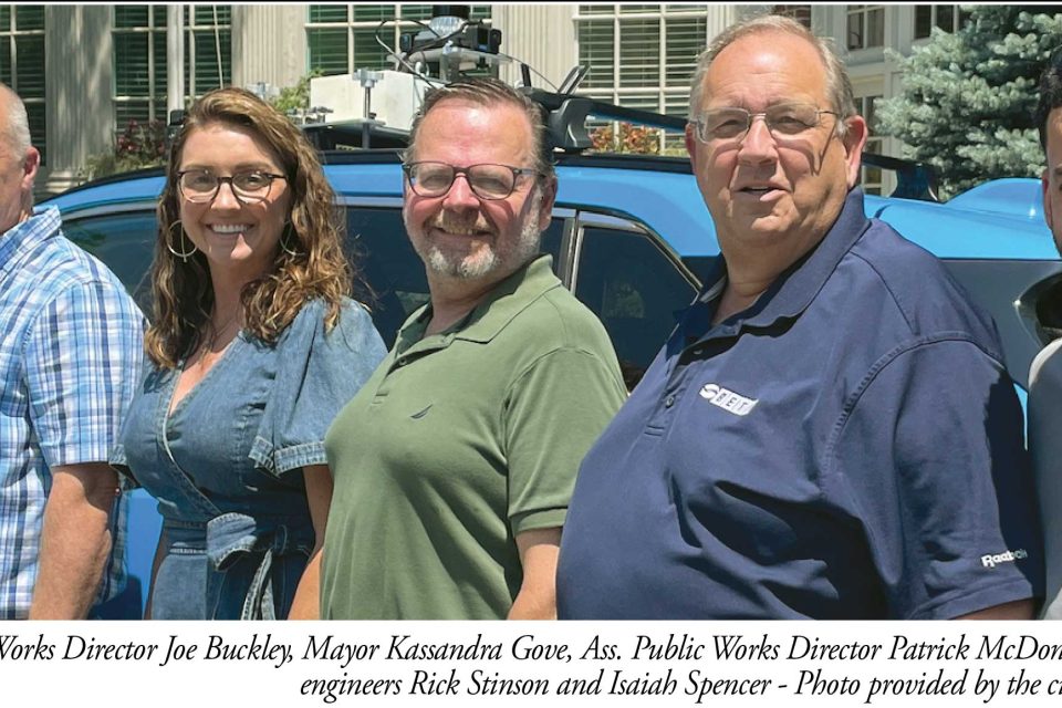
AMESBURY – The pothole you hit that jolts your jaw and bounces your eyes out their sockets has a new enemy.
The city of Amesbury has brought in high-tech resources for the first time to map cracks, holes and other decaying spots in the city’s 74 miles of streets. That map, which is being processed now, will be a written evaluation of the condition of each street, including setting priorities for fixing them.
“Streets and sidewalks are a common ground for residents and business owners,” Mayor Kassandra Gove said. “It’s the one thing everyone relies on, as soon as you step outside your door, and it’s what I hear about most.”
The new survey by the BETA Group for $31,500, funded from the city’s Chapter 90 state allocation, will be followed by an artificial intelligence (AI) and human evaluation that will produce a priority list of repairs for cracks, potholes, seals, patches and pavement oxidation.
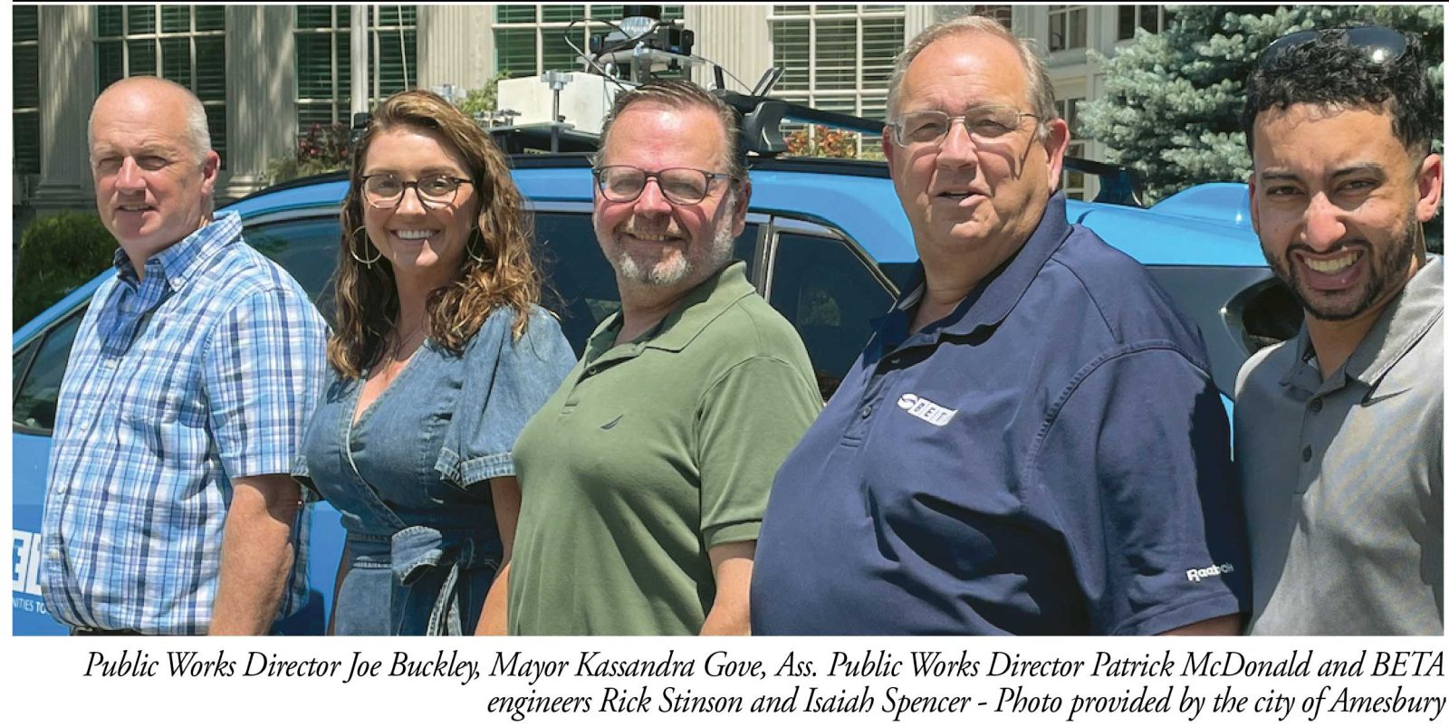
Cameras and sensors, mounted on vehicles, collected the roadway data. That information is being analyzed by AI to identify defects, measure road damage and help the city decide when issues should be addressed.
In fiscal year 2027, Amesbury’s Chapter 90 apportionment is $677,509.41, like most towns and cities, not nearly enough to meet the demand for repaired streets and sidewalks, said William Donahue, the city’s communications director.
This high-tech analysis, however, will at least reduce the arguments among residents about whose streets are decaying worse and need repairs more.
“We’ve lacked a pragmatic way of addressing our backlog of repair and maintenance needs in Amesbury,” Gove said, “and I can’t wait to have this plan in hand so we can all be working from the same data. It’s important to me that we make data driven decisions that are equitable across the community and not limited to those who know how to interact with local government or submit the most work orders.”
As the BETA vehicles traversed the Amesbury streets, a 3D digital map was developed with all roadway assets identified and located within 50 feet. Now that the data has been collected along all city roadways, BETA is developing proprietary algorithms to identify stressed pavement surface.
Each roadway segment is being rated using an industry standard, 0-100 Road Surface Rating, which will place each street in a category of road conditions. Those streets which scored lower ratings will require more intensive repairs like full-depth reclamation or cold-in-place recycling, a process that mills, crushes and mixes the top 2 to 5 inches of existing asphalt pavement on-site.
Other roads in better condition typically fall under routine maintenance or preventive maintenance, where lower-cost interventions like crack sealing or surface treatments will extend the life of the pavement.
The resulting data and imagery will then be integrated into BETA’s online-based platform and integrated into existing geographic information system (GIS) software available for city leaders. The report will also provide forecasting models to identify funding needs for the city to develop a comprehensive capital improvement plan in the 2028 budget.
Joe Buckley, Director of Public Works said, “City crews are consistently out repairing streets and addressing potholes. This pavement condition assessment will allow us to plan more strategically and make better use of our resources moving forward. Relying on the data provided by BETA will help drive decision-making with greater efficiency, help us make smarter fiscal decisions, and prioritize repairs in neighborhoods throughout the city.”